Beehives Trail
“ Whether you received a permit or not for the Wave hike, the Beehives Trail is the next best thing. Explore this dynamic landscape of red rock and dramatic vistas.”

Easy
1.75 miles (2.82 km)
Hiking
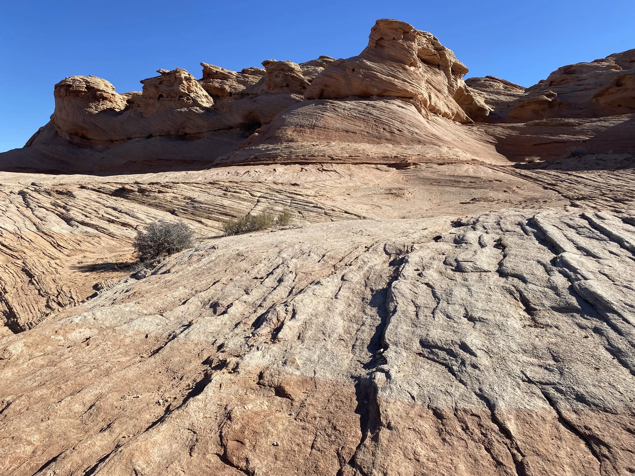
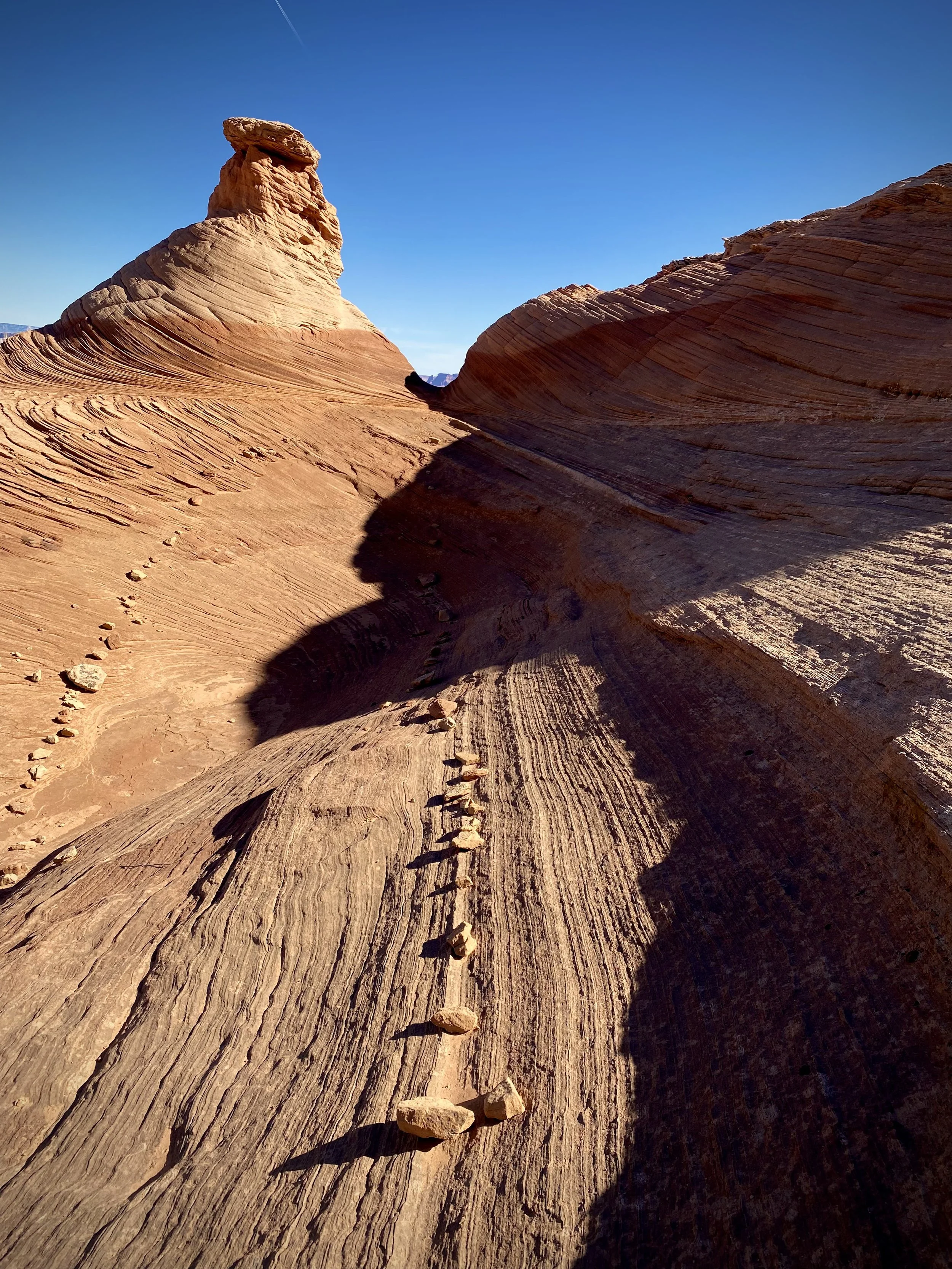
The Beehives Trail is an easy loop trail just outside the city limits of Page, AZ. It is located within the Glen Canyon National Recreation Area. The hiking surface is “slickrock”, a term first coined in 1925 and defined as a “smooth wind-polished rock”. The slickrock for the Beehives Trail is sandstone. The Beehives is named for some of the surrounding rock formations that reminds one of a beehive. The trail has an ascent of 219 ft (66.75 km).
GET THE APP. GET THE MAP.®

Download the Avenza Maps App and create an account. It’s free!


Directions
From the intersection of Lake Powell Blvd. and North Navajo Drive in Page, the trailhead is 3.1 miles (4.99 km). Drive north and west on Lake Powell Blvd. and merge with HWY 89 north. Cross over Glen Canyon Dam and continue north on 89. Turn left to trailhead.
Click map below to navigate to trailhead.
Trail Details
Trailhead Coordinates: 36º56.2756’N 111º29.8126’W
Trail Access: National Park Service, U.S. Fee Area
Trail Surface: Slickrock
Trail Condition: Fully developed
Trail Use Type: Hiking
Best Season: Year round, prepare for heat in summer, and snow and ice in winter
Parking at Trailhead: Yes
Restroom / Water: Yes, at Beehives Campground
Pet Friendly: Yes, leash required for pets
Degree of Difficulty: Easy
Trail Type: Loop trail
Trail Length: 1.75 miles (2.82 km)
Elevation Gain / Loss: 219’ ascent
Elevation at Trailhead: 3906’
Cell Service: Yes
Land Manager: National Park Service (NPS) - Glen Canyon National Recreation Area (GCNRA)