Descending Sheep Petroglyph Trail
“With the sun glinting off the rock and the nearby Colorado River, boaters are in for a short but rewarding excursion to this petroglyph panel, located deep in Glen Canyon. Respect cultural resources and help protect this site, refrain from touching the petroglyphs or marking the rock in any way.”

Easy
.25 miles (.4 km)
Hiking
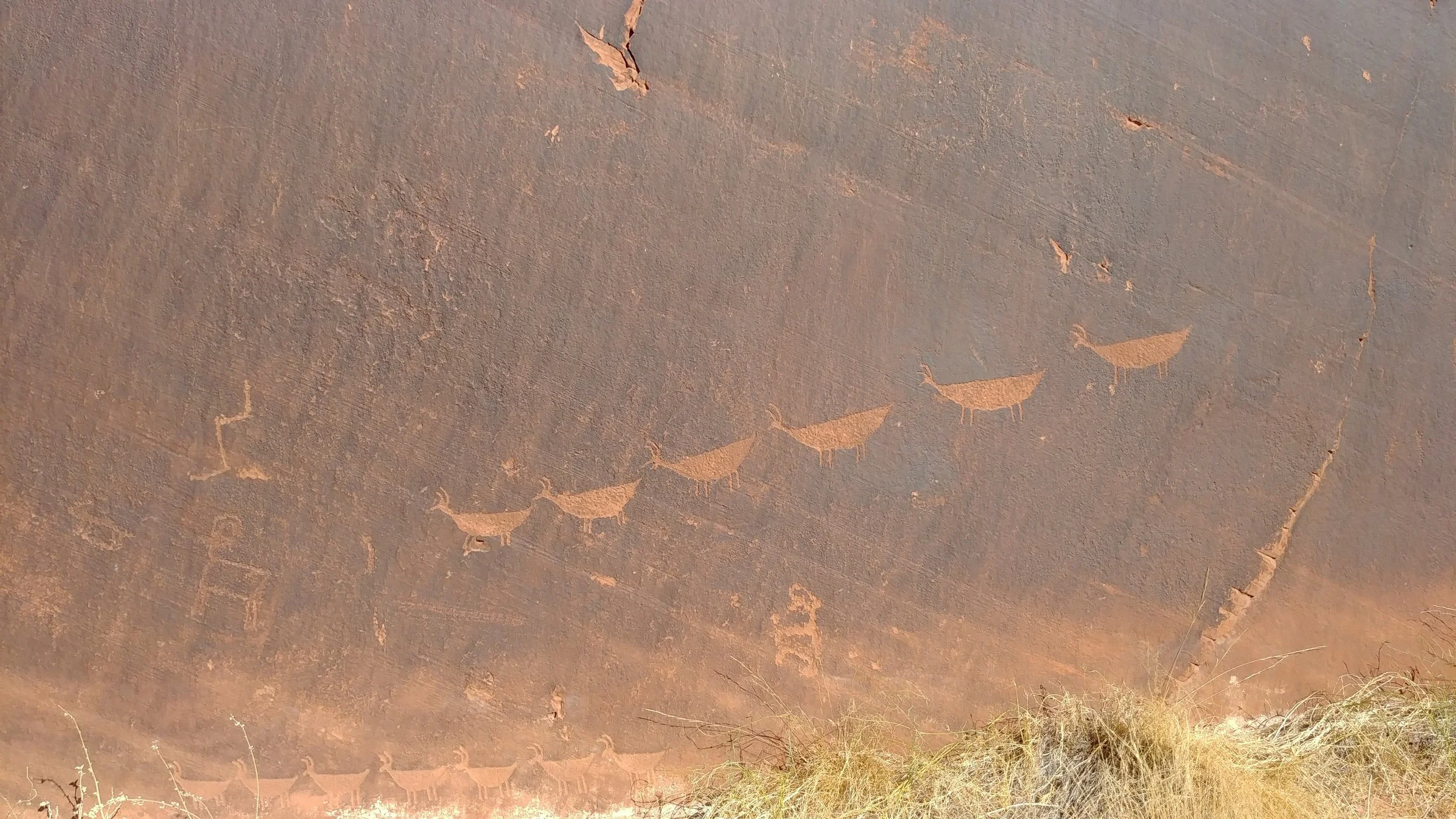
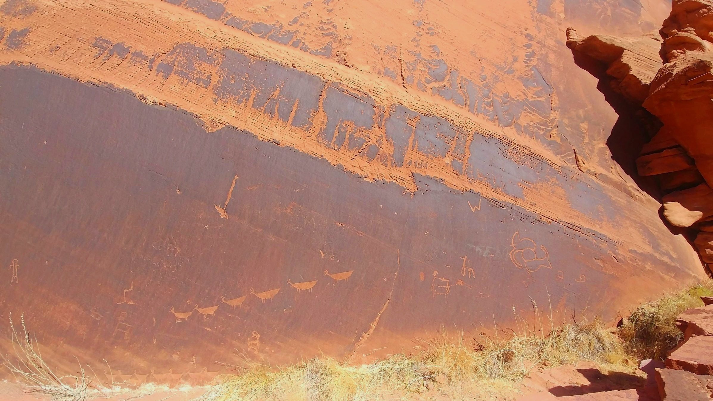
The Descending Sheep Petroglyph Panel (also referred to as Petroglyph Beach) is a signposted native American rock art site in the Glen Canyon National Recreation Area and is accessible only by boat. Archaeologists believe the petroglyph panel is between 3,000 and 6,000 years in age, and contains two elements of rock art representing three separate temporal and cultural periods. The name of the panel comes from a line of sheep moving right to left, which has been interpreted as a hunting scene.
GET THE APP. GET THE MAP.®
Download the Avenza Maps App and create an account. It’s free!


Directions
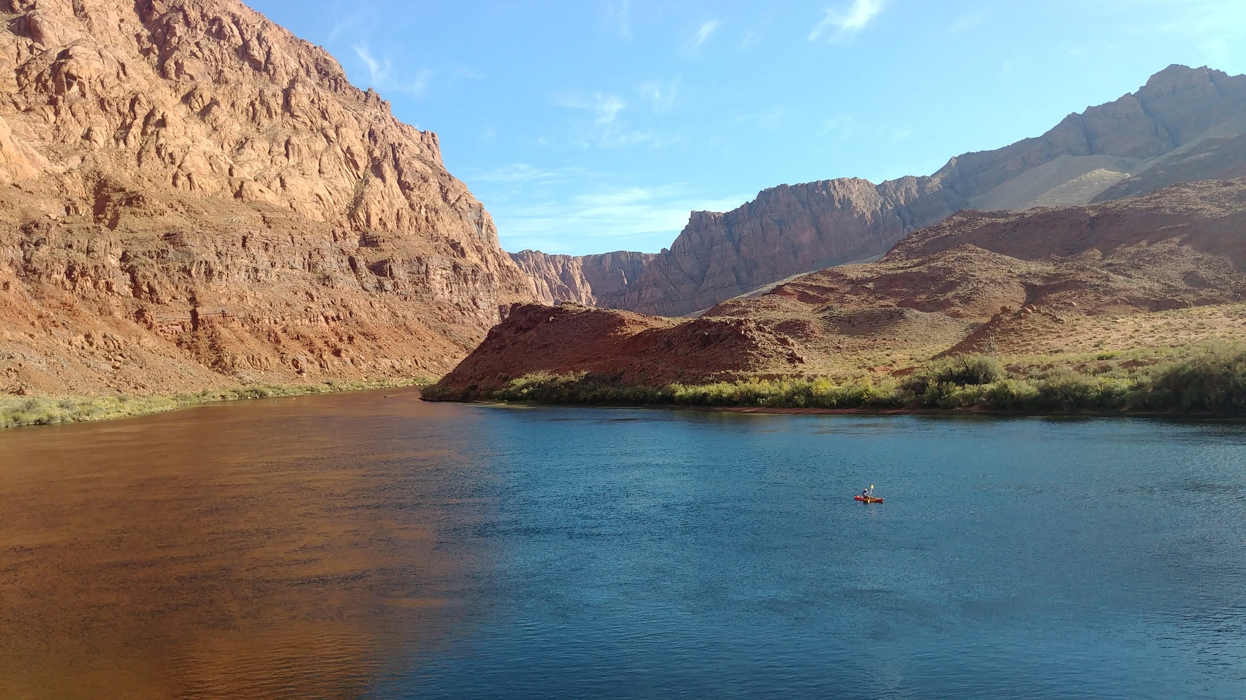
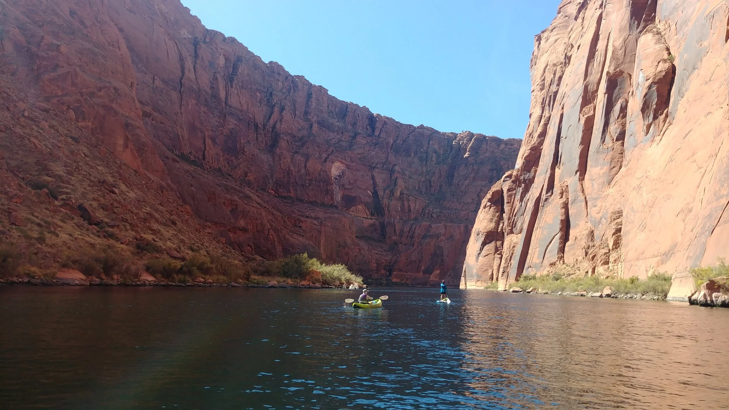
The rock art panel is along the Colorado River almost exactly halfway between Glen Canyon Dam & Lees Ferry. Access is by boat, kayak, or SUP, & commercial rafting tours will stop at Petroglyph Beach. From the beach, it’s a short walk along an obvious trail to the signposted site. Visitors can launch personal watercraft at the Lees Ferry ramp and motor or be towed upstream to the site; there is no put-in at the dam. Commercial boat services offer guided or backhaul services, check NPS for permitted outfitters.
*Visitors utilizing any type of watercraft on the Colorado River between Glen Canyon Dam and Lees Ferry must obtain a Lees Ferry River Backcountry Permit. One permit per group is required. Permits are free of charge on an unlimited basis and are available at self-service kiosks near the Lees Ferry launch area. Permits do not reserve campsites or place any restrictions on allowable activities within the river corridor. Visitors must submit one copy of the permit at the permit kiosk and keep one copy on their person. Permits are not required for visitors only hiking or fishing along the riverbank.
Trail Details
Trailhead Coordinates: 36°53.129´N 111°31.335´W
Trail Access: Boat-in only.* National Park Service, U.S. Fee Area
Trail Surface: Sand, gravel
Trail Condition: Fully developed
Trail Use Type: Hiking
Best Season: Year round, prepare for heat in summer
Parking at Trailhead: Yes, at Lees Ferry
Restroom / Water: 2 Pit Toilets / No water
Pet Friendly: Yes, leash required for pets
Degree of Difficulty: Easy
Trail Type: Out and back
Trail Length: .25 miles (.4 km)
Elevation Gain / Loss: 10 ft (3 m) ascending
Elevation at Trailhead: 3138 ft (956 m)
Cell Service: No
Land Manager: National Park Service (NPS) - Glen Canyon National Recreation Area (GCNRA)