Horseshoe Bend Trail
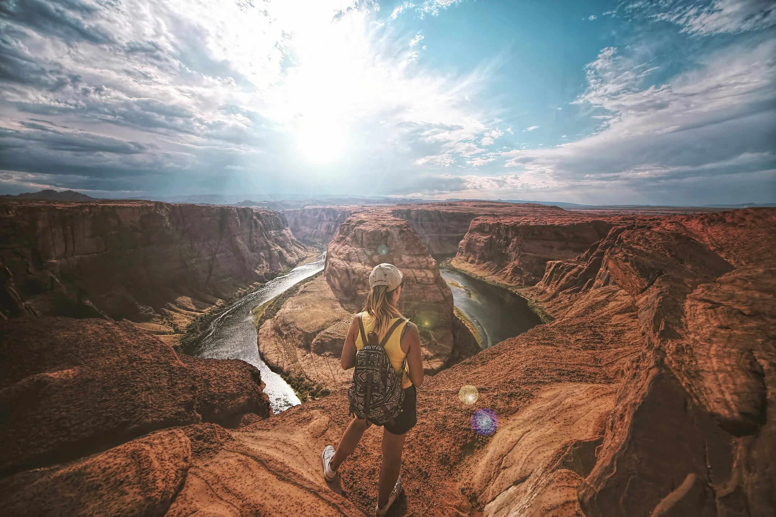
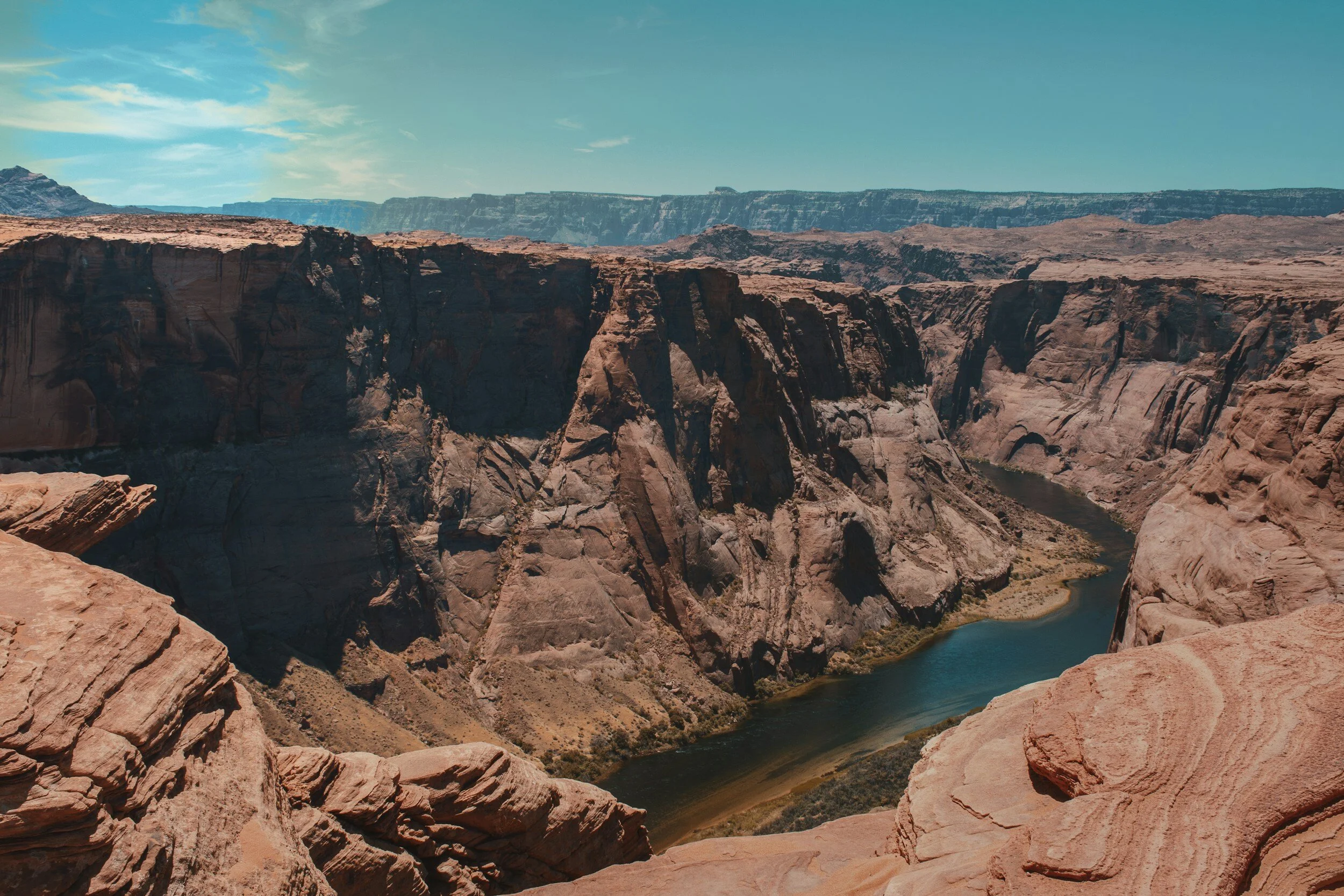
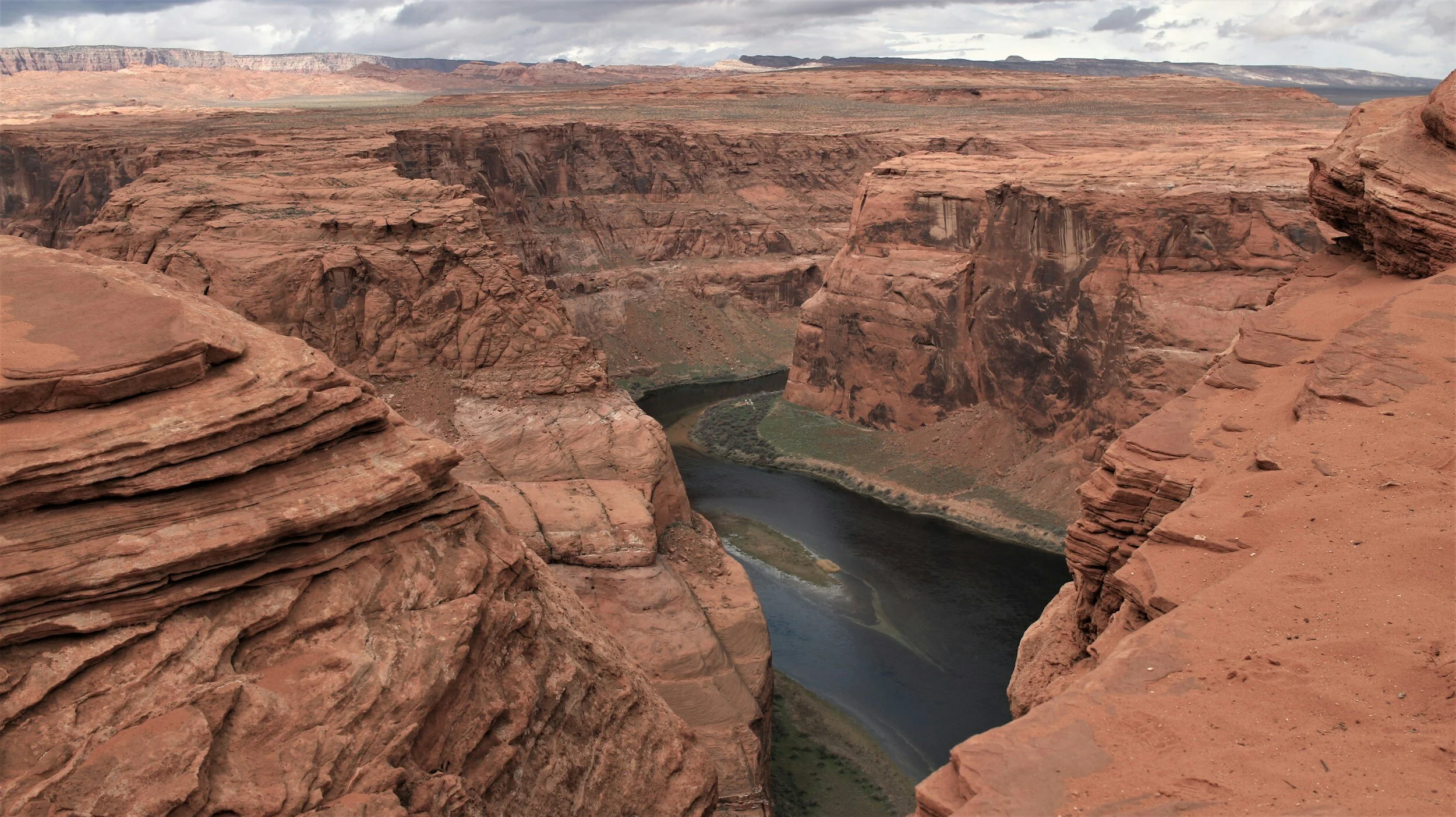
“Iconic, an absolute must see”. Horseshoe Bend has become one of the most recognized and visited places in Glen Canyon National Recreation Area.

Easy
1.2 miles (1.93 km)
Hiking
The Horseshoe Bend Trail is a fully developed, well defined, hard earth trail that leads to one of the most iconic and photographed landmarks in the western United States. The overlook provides a vista of the Colorado River some 1000 feet below, a horseshoe shaped bend in the river.
GET THE APP. GET THE MAP.®

Download the Avenza Maps App and create an account. It’s free!


Directions
From the intersection of Lake Powell Blvd. and North Navajo Drive in Page, drive north and west on Lake Powell Blvd. to HWY 89 south. Turn left. Travel south on HWY 89 to the parking area located on the right or west side of the road. Distance from intersection to trailhead is 4.8 miles (7.73 km).
Click marker below to navigate to trailhead.
Trail Details
Trailhead Coordinates: 36°52.6473’N 111°30.1747’W
Trail Access: Entrance fee required
Trail Surface: Earth
Trail Condition: Fully developed
Trail Use Type: Hiking / pedestrian (wheelchairs and strollers welcome)
Best Season: Year round, prepare for heat in summer
Parking at Trailhead: Yes
Restroom / Water: Yes / No
Pet Friendly: Yes, leash required for pets
Degree of Difficulty: Easy
Trail Type: Out and back
Trail Length: 1.2 miles (1.93 km) out and back,
.59 miles (.95 km), one way
Elevation Gain / Loss: 90’ descent
Elevation at Trailhead: 4324’
Cell Service: Yes
Land Manager: City of Page, National Park Service (NPS) - Glen Canyon National Recreation Area (GCNRA)